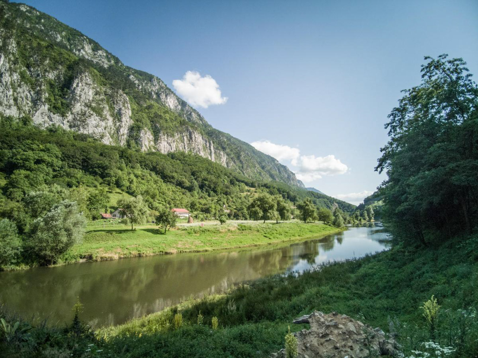
The Cerna Mountains are a mountain range located in the western part of the Southern Carpathians. They are bounded by the Domașnea Depression and the Cornereva Depression to the west, by the alignment of the Hidigel and Olanu valleys to the north, and by the Cerna River valley to the east.
These mountains comprise a main peak, which follows the direction of the Cerna River valley, as well as a secondary peak – the Cerni Vâr Peak – oriented on the north-south axis, located between the Belareca valley and the Domașnea Depression. The Cerni Vâr Peak, the highest of this secondary peak, reaches 1,365 m. The main ridge is narrow and marked by a series of important peaks, including Dobrii Peak (1,928 m, the highest point of the Cerna Mountains), Cailor Peak (1,856 m), Baldoveni Peak (1,800 m) and Vlaşcu Mic Peak (1,733 m), which are separated by deep saddles. From this main ridge, several secondary branches start eastwards, ending abruptly above the Cerna River valley.
The Cerna Mountains have a varied geological structure, being formed from rocks such as conglomerates, sandstones, limestones, clay shales, crystalline shales, but also with presences of granite. The mountain slopes are covered with forests, and on their slopes are the 40 villages belonging to the Cornereva commune, Caraș-Severin county – the commune with the largest number of villages in Romania. Part of the Cernei Mountains is included in the Domogled-Valea Cernei National Park, contributing to the conservation of the region's biodiversity and natural landscape.
Sursa: romaniadategeografice.net

| Sel. | Diff. | Km | Hr. | Rev. | |
|---|---|---|---|---|---|
 |
1849m - 1250m | 1 | 19.2 | 5.3 | |
 |
1250m - 883m | 1 | 4.1 | 1.4 | |
 |
874m - 260m | 1 | 7.1 | 2.5 | |
 |
260m - 217m | 1 | 13.3 | 3.8 | |
 |
228m - 500m | 1 | 1.2 | 0.5 | |
|
|
500m - 626m | 1 | 12.5 | 3.1 | |
 |
626m - 654m | 1 | 1.5 | 0.3 | |
 |
654m - 67m | 1 | 10.4 | 2.4 |
4 out of 5 stars
based on 0 reviews
If you’ve visited this place, share your thoughts with others
write review